Omaha, NE Hail & Wind Storm History
Severe weather within ~25 miles of Omaha, Nebraska or recorded for its county over the last 12 months — NWS warnings, observed storm reports, and official records, consolidated.
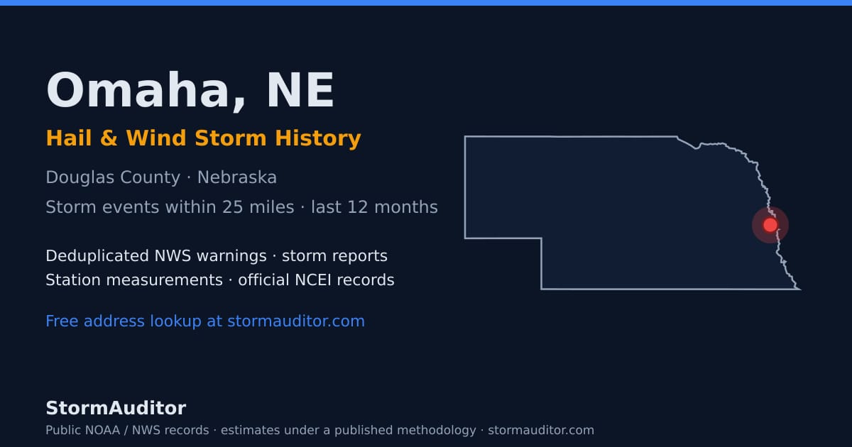
Omaha, Nebraska storm history at a glance (last 12 months)
This free weather history for Omaha — home to roughly 489,265 residents in Douglas County — draws on StormAuditor's consolidated public record: 193 wind and hail events within 25 miles of Omaha or recorded for Douglas County in the trailing 12 months — 119 wind events and 74 hail events, including a maximum observed wind gust of 63 mph and observed hail up to 1.25″. Douglas County as a whole recorded 132 events (77 wind · 55 hail). Events fuse NWS warnings, observed Local Storm Reports, station measurements, and official NCEI records, consolidated into a single event table.
Biggest storm days near Omaha
- April 23, 2026 — 27 recorded events · 3 wind · 24 hail
- May 17, 2026 — 19 recorded events · 14 wind · 5 hail
- June 13, 2026 — 14 recorded events · 7 wind · 7 hail
- July 8, 2026 — 11 recorded events · 7 wind · 4 hail
- December 10, 2025 — 11 recorded events · 11 wind
Omaha hail map and wind map
Researching hail in Omaha or severe wind in Omaha? Radar-derived hail swaths and peak-gust wind swaths for Nebraska — including the Omaha metro — are on the Hail Explorer and Wind Explorer: pick any storm date and see how estimated hail size and wind gust bands tracked through Douglas County. County-level activity is on the impact heatmap, and day-by-day history is on the Storm Calendar.
Free Omaha weather report by address
Area maps show where storms tracked; an insurance claim or roof inspection needs what happened at the property. Start with a free weather report check: the Free Report Snapshot answers YES/NO instantly on estimated damaging wind (45+ mph) and damage-capable hail (0.75 in. or larger) at any Omaha address, and the Address Lookup adds free Omaha wind history and free Omaha hail history context — NWS warnings, storm reports, and NOAA observations — at no charge. When you need the full document, a complete Weather Report is $2.99 and covers every qualifying storm date at one address. All values are estimates from public NOAA data under our published methodology — research documentation, not certified weather records (see Limitations).
Free Omaha storm data download
The Omaha dataset on this page — every wind and hail event within about 25 miles of Omaha or recorded for Douglas County from the last 12 months, consolidated so the same source record is never counted twice (a storm that triggered several NWS warning products shows each product), with dates, counties, event types, measured gusts, and hail sizes — downloads free, reusable with attribution under the data license: download CSV · download JSON. Because the radius can cross county and state lines while county records can extend beyond it, these counts can legitimately differ from the Douglas County-only totals above. Statewide files are on the Nebraska storm data page.
More Nebraska city storm pages: Lincoln hail & wind history · Bellevue hail & wind history · Kearney hail & wind history · North Platte hail & wind history · Scottsbluff hail & wind history · Beatrice hail & wind history · Nebraska statewide storm data
About this page: built by Storm Auditor LLC from public NOAA/NWS records — deduplicated warnings, storm reports, station measurements, and official records on a rolling 12-month window, under the published methodology. See the StormAuditor Editorial Team for how content is produced.
Data last refreshed September 19, 2026. Counts cover severe and sub-severe wind and hail; flood activity and Special Weather Statements are tracked separately on the dashboard.